


1/8
Parcel for Sale
€ 30,000
Listing updated on 03/10/2026
Description
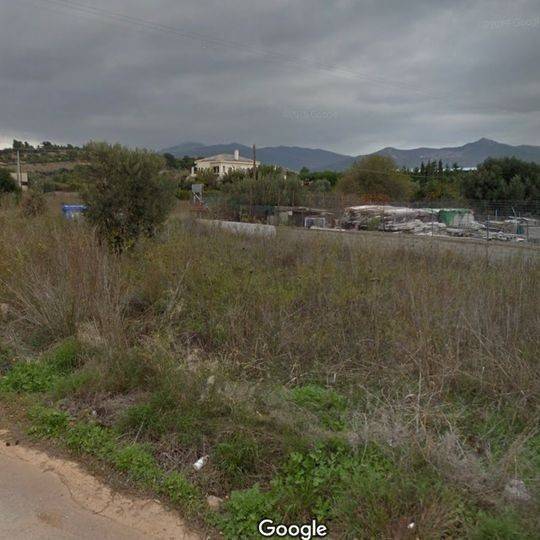
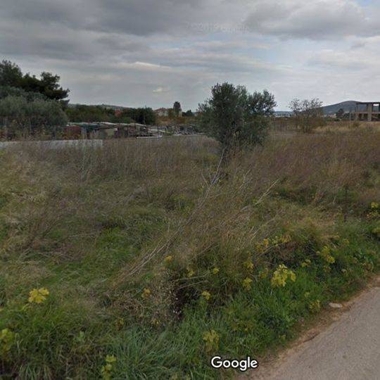
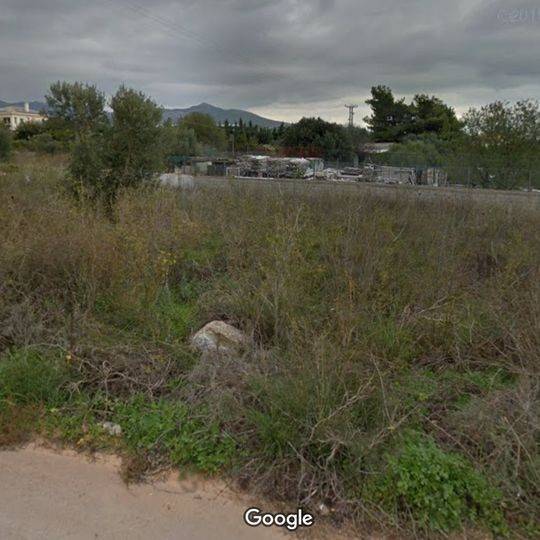
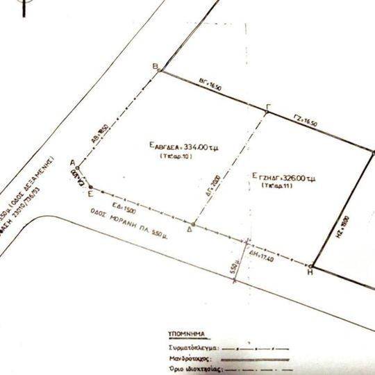
reference: EK-3225683
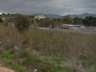
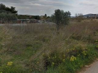
Plot on Dexamenis Street 1km from the center of Pikermi. Corner looking at 2 paved roads, with ramparts on both sides off the road. In essence, they are two connected plots of 334 and 326sqm, as shown in the memorandum. It is out of plan. Google maps: 38°00&#***/*******.quot;N 23°55&#***/*******.quot;E http://****.**/Pb6ZAmVZQsqFVFtw5 38.003384, 23.928533 Here is the English translation of the document regarding the building regulations for agricultural zones. VII. Areas with code G2 (Agricultural Land) 1. Permitted Uses The following uses are permitted in these areas: Agricultural warehouses serving primary production. Greenhouses. Livestock and stable facilities. Residential use (Housing). Campgrounds and organized tourist camps (campings) without huts, as well as children's camps without huts. By exception (subject to prior site approval), the following are permitted: Wind energy production facilities. Meteorological and geodynamic station facilities. Aquaculture facilities. Helipads (in accordance with Presidential Decree 13.1.92). Support and care centers for people with special needs (following a proposal by the Ministry of Health and approval by the Athens Organization). 2. Building Terms and Restrictions The main restrictions per use are as follows: d) For Residential Use: Maximum Surface Area: The total permitted coverage and floor area of the building is 200 sq.m. Maximum Height: The height of the building may not exceed 7.50 m. Quantity Restriction: The construction of more than one building within the plot is explicitly prohibited. Other Indicative Uses: Agricultural Warehouses: Maximum surface area of 30 sq.m. and a height of 4.00 m. Livestock Facilities: Maximum coverage ratio of 14%, building coefficient of 0.1, and a height of 5.00 m. Campgrounds: Maximum coverage ratio of 7%, building coefficient of 0.05, and a maximum building height of 4.00 m.
Features
- Contract
- Sale | Income property
- Type
- Parcel
- Surface
- 660 m²
- Street access / right of way
- On the motorway
Price information
- Price
- € 30,000
- Price per m²
- 45 €/m²
Discover every corner of the property

+6
Advertiser

Private person
Additional options
Private person