

1/10
Parcel for Sale
€ 14,000
Note
Listing updated on 09/09/2025
Description
This description has been translated automatically by Google Translate and may not be accurate
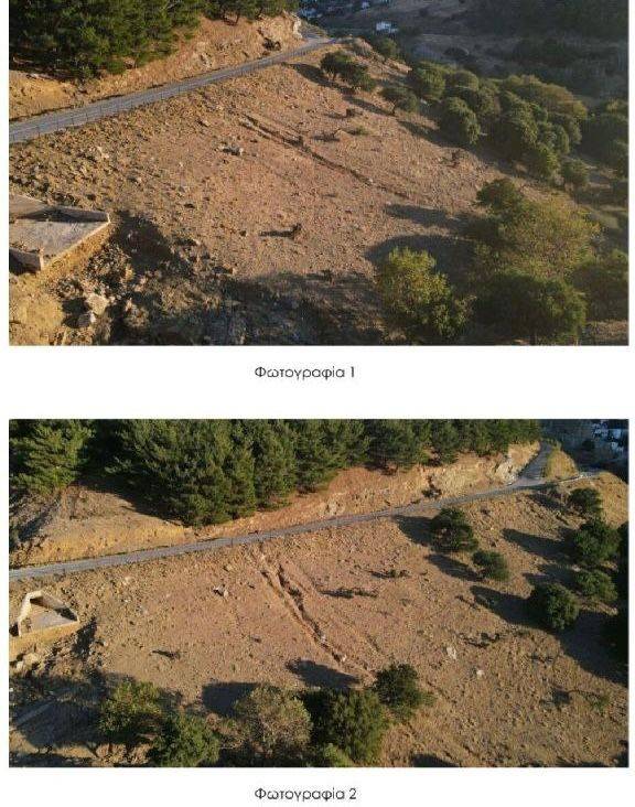
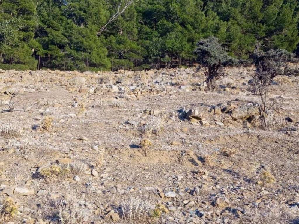
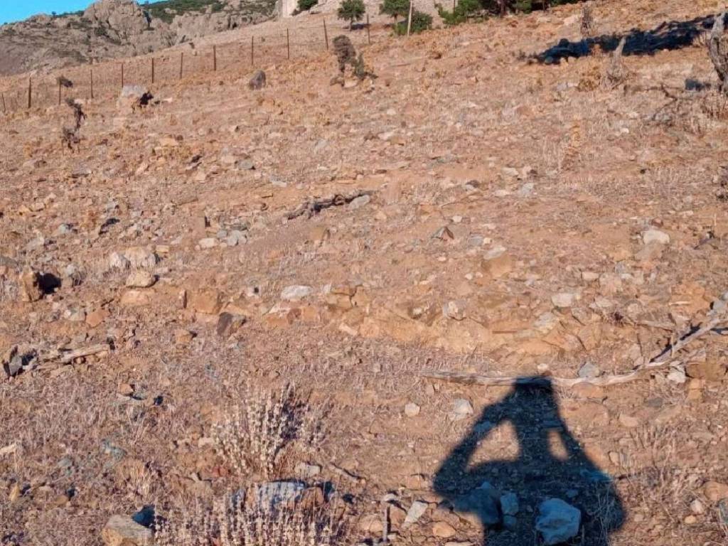
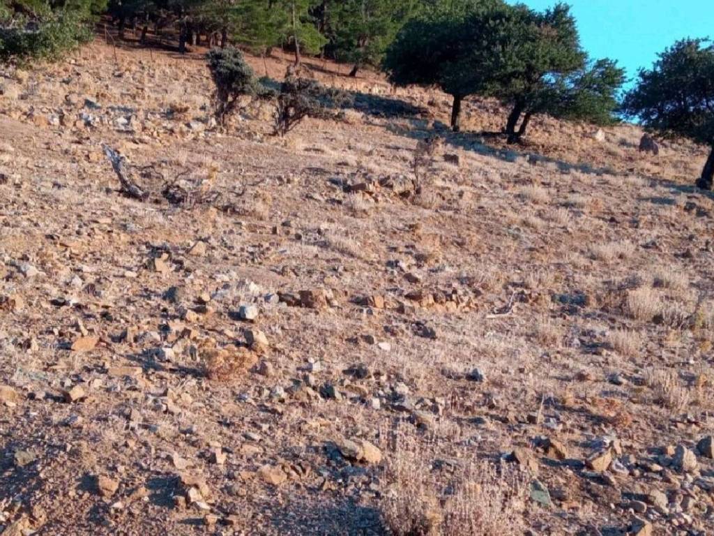
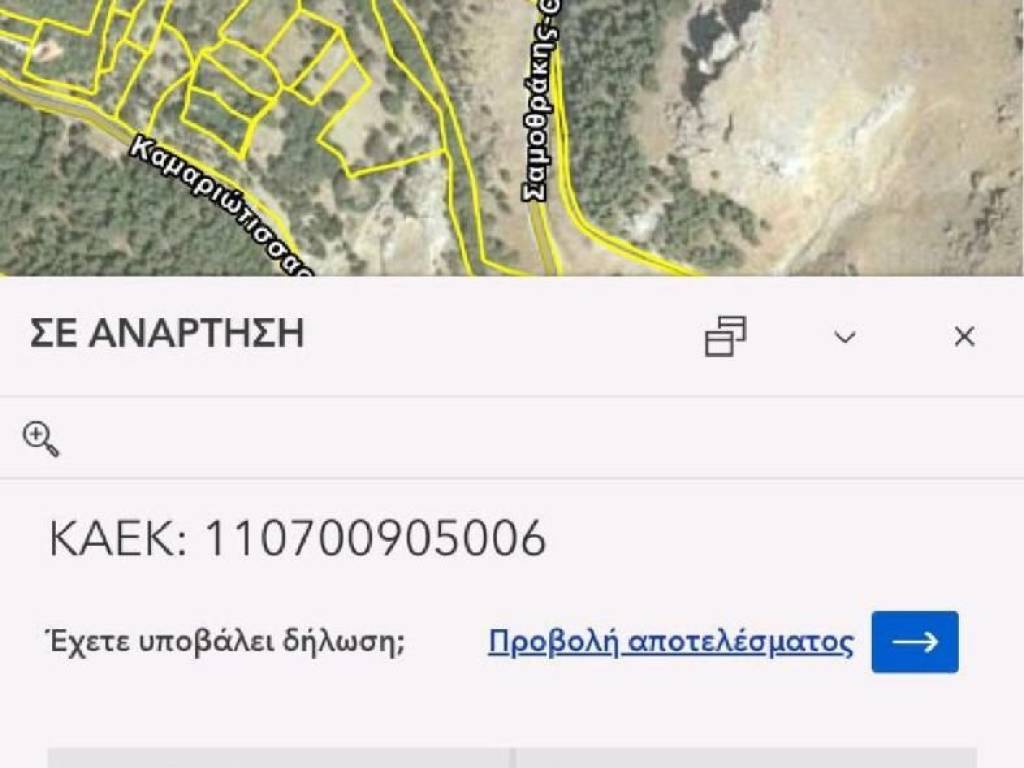
reference: EK-9471841
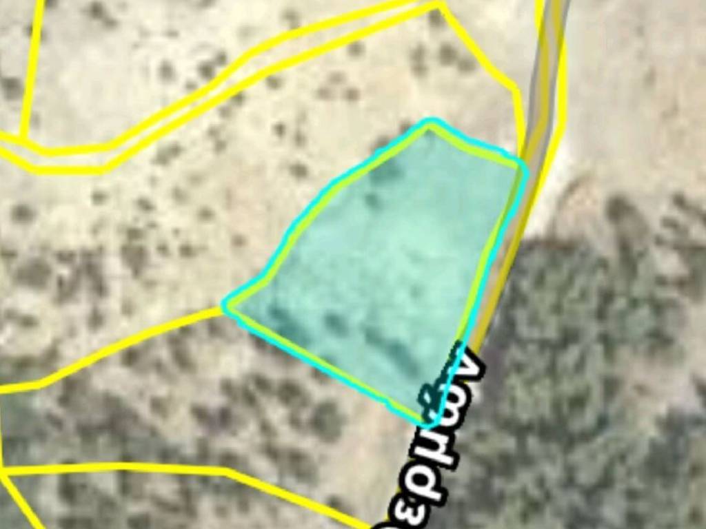
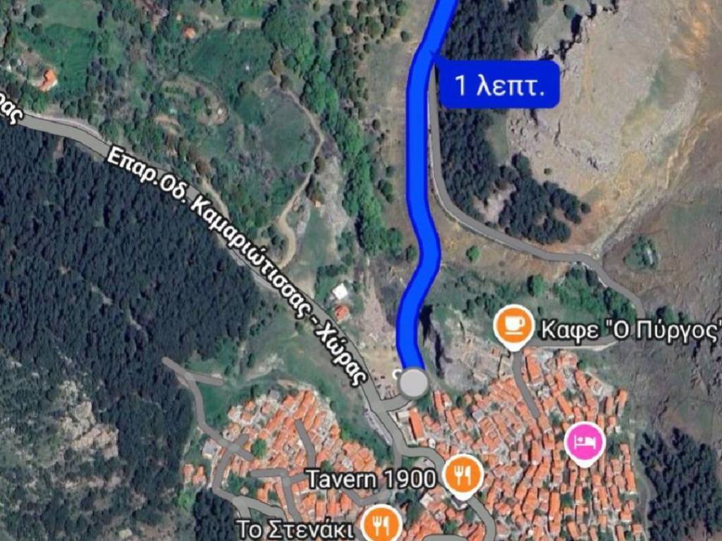
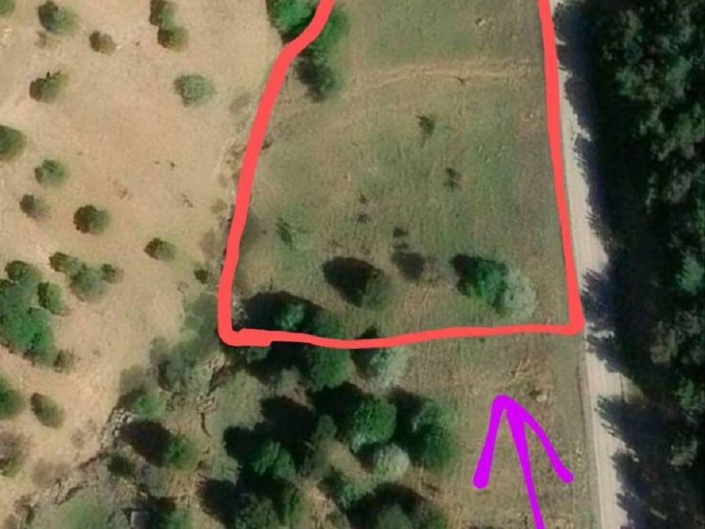
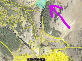
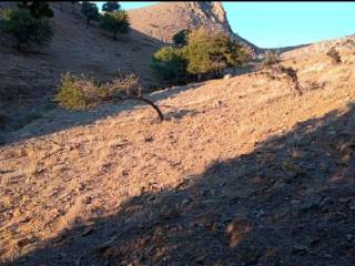
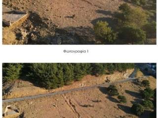
Distance from Chora (the central traditional settlement of Samothraki): 1 minute by car (350m). Area: 4,441.02 sq.m. Facade on a central road. After the validation of the forest maps, it was classified as A.Δ. (forest land), the ownership is not disputed, and there are several old contracts. It is a sloping plot with a gradient of approximately 20%. The elevation is between 180-190 meters. Essentially, it is a mountainous, grassland area. It cannot be built on due to its forest character. It can be used for farming, livestock, beekeeping, herbs, tree farming, forestry, or gentle interventions (trails, wooden structures, agrotourism), with approval and studies from the competent authorities, as well as other uses. The character, according to the official decision, is (A.Δ., 0).
Features
- Contract
- Sale | Income property
- Type
- Parcel
- Surface
- 4,441 m²
- Street access / right of way
- On the motorway
Price information
- Price
- € 14,000
- Price per m²
- 3 €/m²
Discover every corner of the property
+8
Advertiser
Private person
Additional options
Private person